01
Vector data
Structured geometry and attribute layers ready for analysis and integration.
HydrographyRoutesBoundariesWatersheds
Explore vector data →Vector, raster and satellite-imagery data designed for the realities of Algeria — structured, documented and ready to integrate into your projects.
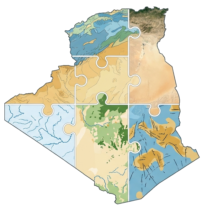
MapAlgeria is a geospatial data and intelligence studio dedicated to the Algerian territory. We transform complex spatial information into reliable, structured and decision-ready products for engineering firms, research organisations, public institutions and businesses.
By combining GIS engineering, remote sensing and cartographic design, we build each delivery around the area of interest, coordinate system, resolution and operational objectives of the project. From nationwide reference layers to custom analyses, our approach prioritises quality, traceability, interoperability and secure delivery.
Our ambition is simple: make high-quality geospatial intelligence easier to access, easier to integrate and more useful for planning, research and investment across Algeria.
The home page presents only the main families. Detailed datasets are available inside each category.
Structured geometry and attribute layers ready for analysis and integration.
Continuous surfaces for terrain, geophysics, land cover and modelling.
Multiband imagery and derived products to observe, compare and monitor territories.
Area, use, format and accuracy.
Selection, cleaning and processing.
Geometry quality and consistency.
Secure archive, licence and support.
Describe your need and we will guide you toward the right product, format and resolution.